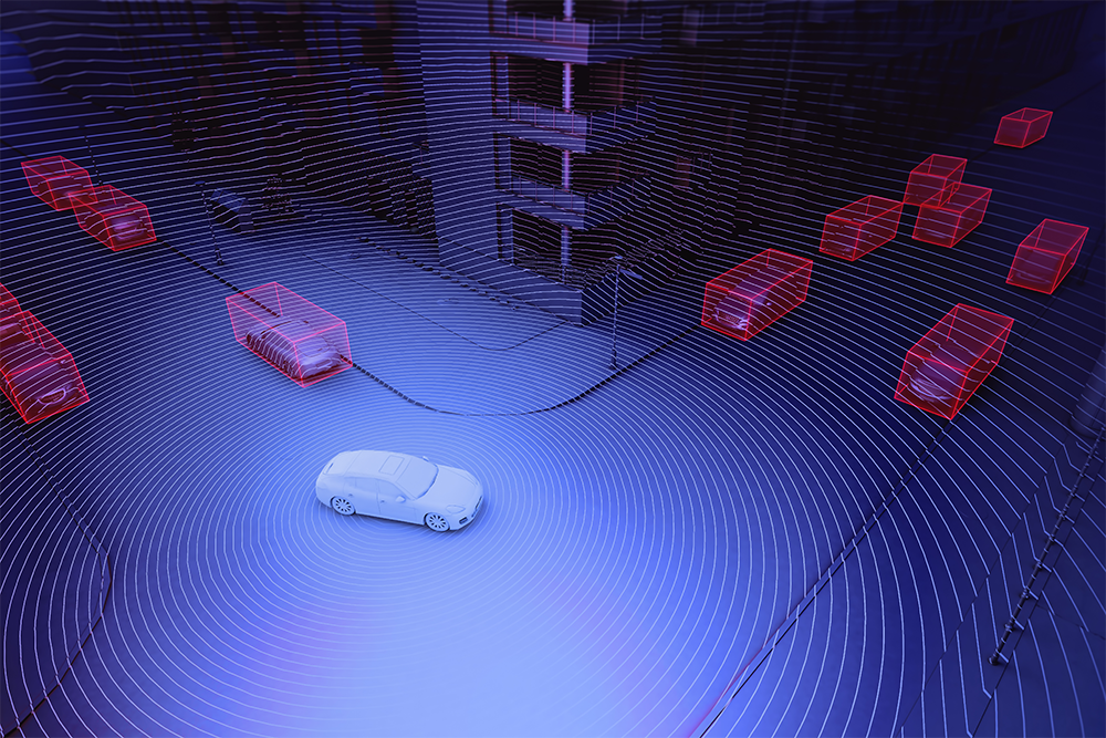
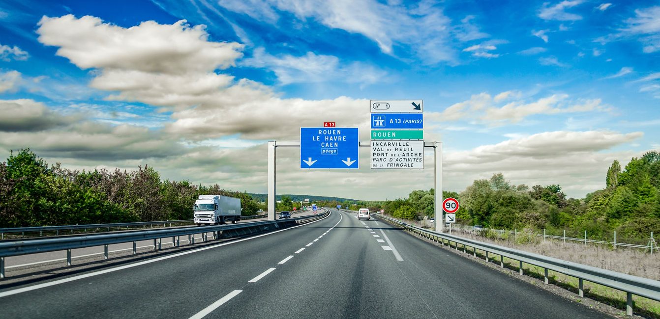
3D-LiDAR, the outsider in speed control systems
The 3D-LiDAR sensor creates a 3D map through point clouds and makes it accurate to the centimeter. “PARIFEX has decided to include the 3D-LiDAR in its existing solutions to meet French Ministry of Interior needs. Indeed, the French Ministry needed a fixed sensor including a wide field of vision. That is why PARIFEX chose this technology including a 360 degree vision unlike the traditional speed cameras able to scan a limited field of view.”, says Désiré Codo, PARIFEX’s R&D Director. Even though most of 3D-LiDAR sensors have been designed for a mobile use, principally for autonomous vehicle  management, PARIFEX decided to distort it and add it in its fixed road sensors including NANO and NANO-CAM sensors.
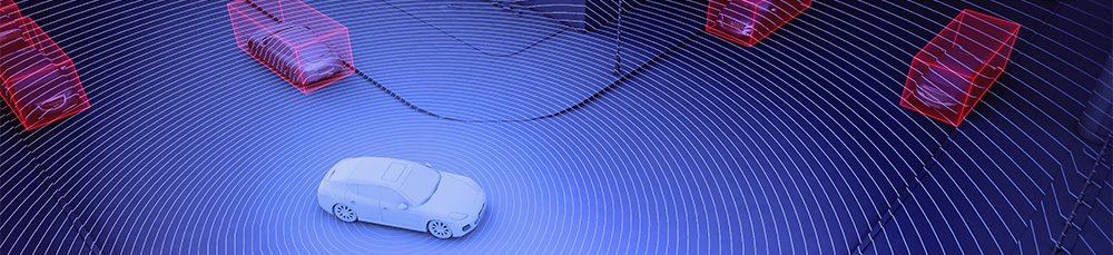
A 360-Degree view
Set up overhead, the 3D-LiDAR sensor enables a 360- Degree view and then a better space detection than other sensors. “Unlike an usual speed control system that needs a specific orientation, the small and light 3D-LiDAR sensor is easy to set up in any orientation and requires little processing power to offer reliable and accurate control.” precises Codo.

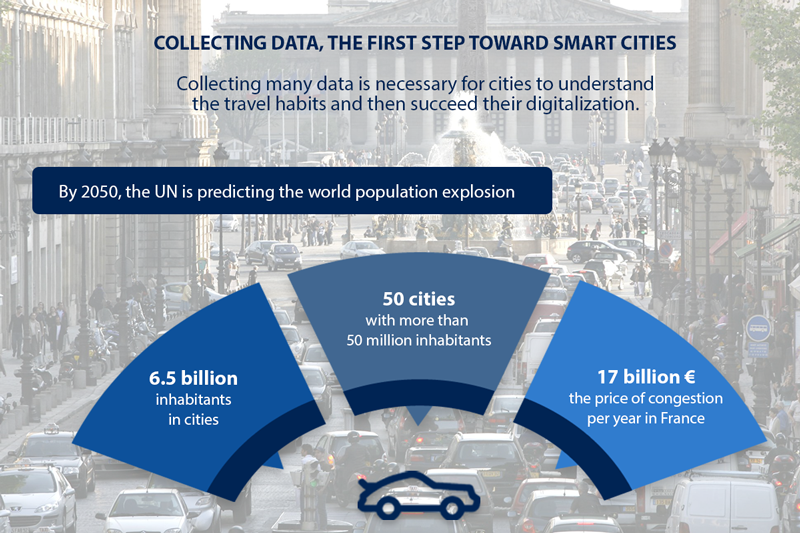
What is happening on the European roads?
Is it safe to travel on European Union roads? The latest figures from the European Commission paint a mixed picture, with lives saved but progress still falling short.

Industrial Data Management: Successfully Centralizing Data with AVEVA Engineering
Optimize your industrial data management with AVEVA Engineering: centralization, migration, structuring, and best practices explained simply.

Road Safety: What the Numbers Force Us to Confront
Every year, preventable accidents claim the lives of thousands of people on our roads.


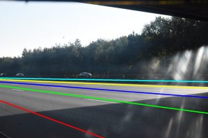 shadows which could distort the information (picture on left).
 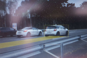 Given their linear relationship (picture on right), the 3D distance allows to determine on which line is the vehicle.

